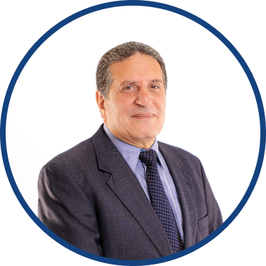
International Expert – Director of Knowledge Management and Land Resources Programmes
Dr. Omar El Badawy

Dr. Omar Elbadawy is a Regional Land Resources Program Manager at the Centre for Environment and Development in Arab Region and Europe (CEDARE).
Omar is actively involved in the management and implementation of a number of environmental projects including: Marine and Coastal Areas Management in West and North Africa under GMES&Africa program in which the earth observation is used to manage and monitor the oil spills. Enhancing the In-situ Environmental Observations across Under-sampled Deserts (CIROCCO), to fast respond to dust storm and manage solar energy. Promotion of a New Generation of Solar Thermal Systems in the MPC (SOLATERM), Sustainable Water Use Securing Food Production in Dry Areas of the Mediterranean Region (SWUP-MED), the Conservation of the Environment of the Red Sea and Gulf of Aden (PERSGA), the Nubian Sandstone Aquifer Project (NSAS), the National Water Quality and Availability Management project (NWQAM), Sustainable Urban Water Management (SWITCH), Science and Technology for Sustainable Water Resource Management in the Mediterranean (Nostrum-Dss) and Sustainable Management of Scarce Resources in the Coastal Zones (SMART). Assisted in creating and updating many GIS projects including The Regional Organization for the Conservation of the Environment of the Red Sea and Gulf of Aden (PERSGA), the Nubian Sandstone Aquifer Project (NSAS) and The Nile Basin System.
Omar holds a PhD in Civil Engineering, Surface Hydrology. Omar is a widely experienced Project Manager for a number of national international clients, both public and private. His relevant past activities enumerate also collaboration with scientists, engineers, regulators, and others for planning and reviewing of projects, provision of technical assistance, creation of maps, graphs, and/or diagrams, using geographical information software and related equipment, and principles of cartography such as coordinate systems, field observations, satellite imagery, aerial photographs, and existing maps longitude, latitude, elevation, topography, and map scales, Groundwater and watershed modelling activities.

The Centre for Environment and Development for the Arab Region and Europe (CEDARE) was established in1992 as an international inter-governmental Organization with diplomatic status.
